
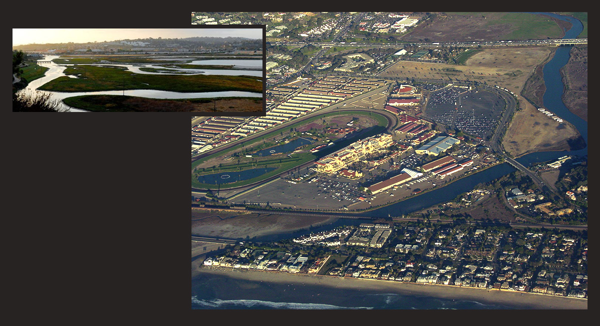
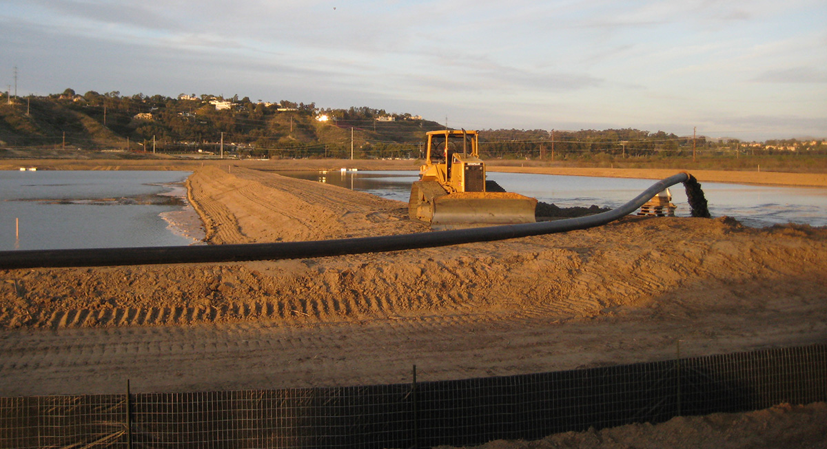
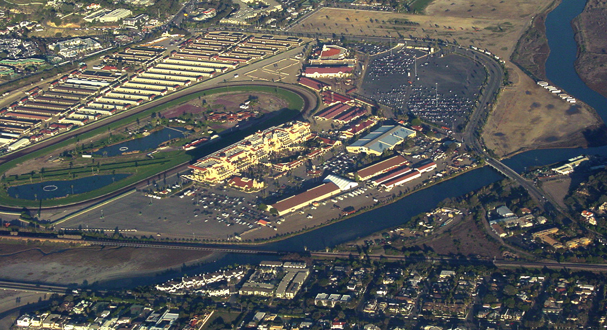
San Diego Association of Governments (SANDAG), in conjunction with the San Dieguito River Park Joint Powers Authority (JPA), California Department of Transportation (Caltrans) and the City of San Diego (City), propose to develop a restoration plan to mitigate for impacts associated with highway and transit improvements in the I-5 Corridor and the El Camino Real Bridge Widening project, as well as provide reserve wetlands for Southern California Edison (SCE). The restoration project will convert former agricultural fields to salt water wetlands and enhance and maintain the natural flood control channel.
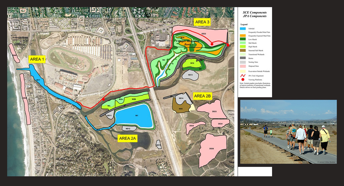
The study area consists of approximately 127 acres in the City of San Diego. Phase I of the project studies a range of options that will provide a minimum creation of 48 acres of salt marsh to mitigate for the impacts associated with the I-5 corridor and 14 acres of brackish marsh to mitigate for the El Camino Real bridge widening.
Geocon prepared a District Preliminary Geotechnical Report (DPGR) in accordance with the Guidelines for Preliminary Geotechnical Report established by Caltrans and included limited environmental sampling and analytical laboratory testing. Our investigation aided in designing:
- Tidal wetland restoration
- Berms and associated drainage and slope protection
- Vegetated dredge disposal areas
- Nesting sites
- Tidal exchange to the San Dieguito River inlet channel
Interesting Facts: Recent acquisition of an additional 75 acres east of the original SD Wetland Restoration Project includes a Multiple Habitat Plan Area.
Client
Dokken Engineering
Owner / Agency
SANDAG
Services
Geotechnical Engineering
Environmental Services
Geocon Leader
Yong Wang, GE

San Diego, California
Casitas Springs, California
Vacaville, California