
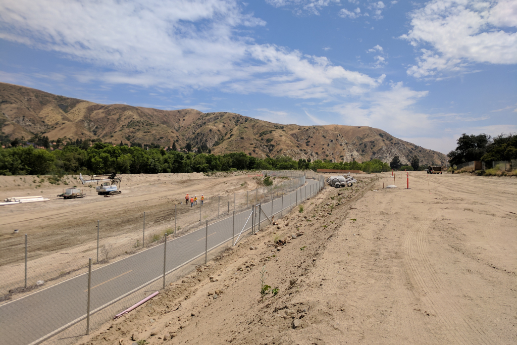
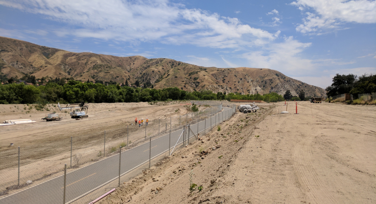
The Lower Santa Ana River Channel Reach 9 Phase 4 encompasses the Santa Ana River from Coal Canyon Road to Gypsum Canyon Road in Yorba Linda, California. Caltrans constructed bank protection along State Route 91 and the USACE expected that additional bank protection was required against scour from a 30,000 cubic feet per second release from Prado Dam.
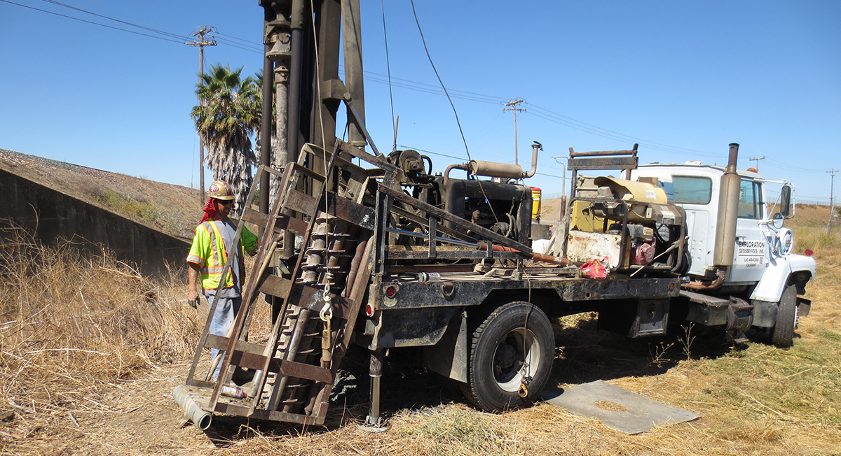
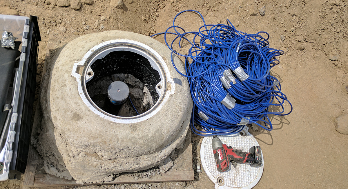
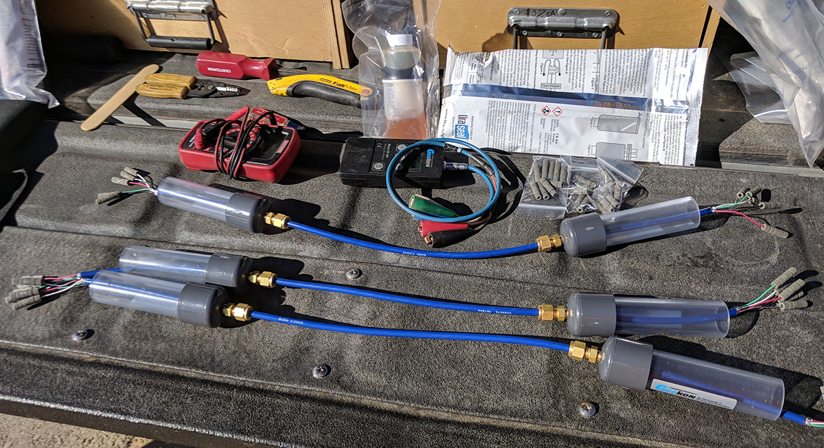
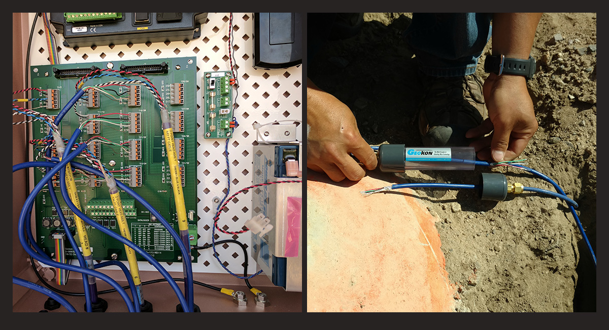
During improvements in this phase of work, instrumentation needed to be installed along the alignment of the San Ana River Interceptor Sewer Line. Geocon worked with Harper Companies to install extensometers and slope inclinometers, as well as two base stations to collect and transmit data. Following baseline readings, Geocon trained US Army Corps of Engineers staff to use the equipment and download and interpret data.
Interesting Fact: The Santa Ana River is the largest river entirely within southern California draining a 2,650 square mile watershed.
Client
Harper Companies
Owner / Agency
US Army Corps of Engineers
Services
Instrumentation
Geocon Leader
Gerry Kasman, CEG

Yorba Linda, California
California
San Leandro, California